
I've been putting this one off for a while. Wanted to try this route back in October but just never got around to it. Told myself I'd do it next month. And then November rolled on by and I still hadn't done it. The mountain was only getting taller and the brush only growing thicker. Along came December and I knew if I didn't do it soon I'd likely never do it at all. Just needed to get out there and giver 'er a go.
The route sounds simple enough: climb Chief Peak by way of Horn Canyon, descending the southern ridge to Twin Peaks, and then taking the trail from Twin Peaks back to Horn Canyon for a nice little loop. I had no idea how long this loop would be, how much elevation gain there would be, or how much brush there would be on the southern ridge. Six years after the Thomas Fire and the brush in the front country has made an astounding comeback. A few years ago, this loop would be fairly simple. But now, with all of this growth, I expected a battle.
So last week, on the 7th, I parked on McAndrew Rd and began the long slog up Horn Canyon. My stomach wasn't feeling all that good on account of eating a spicy meal the previous night. Pro tip: if you're ever going on a long hike DON'T EAT SPICY FOOD the night before. Just don't. I should of known better but oh well.
There was still a decent flow in the creek, despite it being covered with dried and stinking algae. Every so often I'd see a good sized pool along the trail that was algae free. I meandered my way through the canyon, dreading the inevitable switchbacks up to the Pines Camp. It was cool in the canyon and there wasn't a cloud in the sky. It was looking to be a great day weather-wise. Just before the start of the switchbacks I nabbed a few sycamore leaves and stuffed them in my pack. Given how my stomach situation wasn't improving in the slightest I figured I'd need these leaves later.
The section of trail between the canyon floor and the Pines Camp just plain sucks. There's significant elevation gain with little relief, and the trail just keeps going and going. By the time I got to the Pines Camp I was honestly pretty beat and had exhausted most of my supply of sycamore leaves. I took a long break before continuing on.
 |
| The Pines Camp |
From the Pines Camp to Sisar Rd I simply moseyed along at a relaxed pace, taking several micro breaks in the process. This section of trail has gotten some attention and is in excellent shape. I can only imagine how miserable it must have been hauling up all the gear for this trail work. I give my thanks to whoever worked on this trail; it looks really, really good.
When I got to Sisar Rd I plopped down in what shade I could find and took a little breather. I noticed two people walking up Sisar to the ridge road. Aside from a guy I saw near the horse corral by Thacher, these two were the only people I saw all day. I caught up to them at the ridge road junction and saw that they were making their way toward Red Reef. It appeared that I would have Chief Peak all to myself.
I walked along the ridge road to the turn off for Chief Peak. Unlike last year, there was hardly a cloud in the sky and had no trouble following the use trail all the way to the summit.
 |
| Chief Peak |
I spent a good half hour recuperating on the summit. A few crows were flying overhead and every now and then I'd hear the screech of a hawk somewhere in the distance. What I found most interesting, though, was that I could actually make out the sounds of civilization coming from Ojai and its surrounding communities. It was so quiet on the summit—no wind, no nothing—that I could actually make out the sounds of construction and sirens, not to mention the ever present steady hum of traffic. It was a little weird. Just goes to show just how far noise can travel.


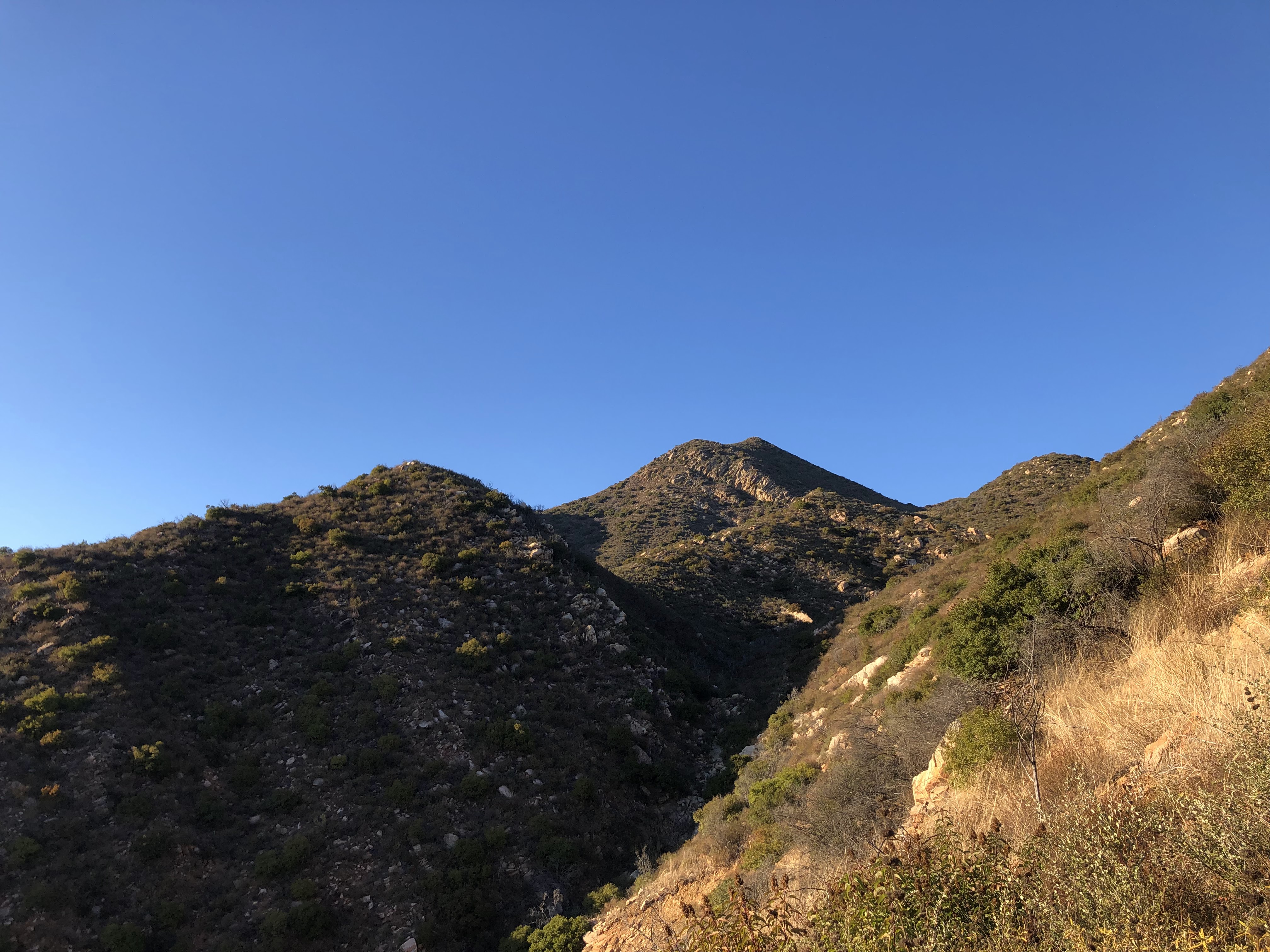
From the summit I was gifted full view of what needed to be done, that being the ridge descent to Twin Peaks. To the south I could see most of the ridge descent as well as the little knob that marked the summit. I knew that by going down this ridge I'd be saving myself from excess mileage, but the brush situation was still a mystery. If the brush was more than waist high it could possibly take me a few hours of bushwhacking to traverse this ridge, and since it was getting later in the day and because I didn't think to bring a headlamp, I could be ending this hike in the dark.
Not wanting to lose any more daylight I said goodbye to Chief Peak and skipped my way down to the ridge road. I hit the ridge road in what seemed like no time and jogged the rest of the way to the turn off for the southern ridge. I left the road and walked up the ridge, the first section being mostly clear of brush. I crested a small rise and was gifted a view of the bushwhack to come. I turned around, took one last picture of Chief Peak, and then began the brushy descent.
 |
| Chief Peak as viewed from the top of the ridge |
 |
| The southern ridge |
To my surprise, the brush at the top of the ridge was not bad at all. Chamise, yerba santa, and tiny little bunches of manzanita were easily avoided. I followed animal trails when I could, and now and then I'd find a long rut that was totally clear of brush. If the rest of the ridge was like this, it would take no time at all to reach Twin Peaks!
Alas, this was not to be. I soon discovered that most of this ridge consisted of fairly thick, waist high brush. Brush of all kinds. Soft brush, hard brush, wispy brush, prickly brush. This ridge has it all. None of it was impenetrable, and there were only a few spots where it rose above my head. Using mostly my shins, with the assistance of gravity, I busted my way bit by bit, breaking my own trail as I went. Sometimes I'd hit a clearing, sometimes I'd find an animal trail, but for the most part it was a waist high wall of sticks. Skeleton arms of shrubs long dead and blackened by fire poked hither and thither from the green carpet of brush, poking and prodding me as I tore my way down the ridge. I was half expecting one of these skeleton arms to poke me right in the crotch, and as soon as this notion came into my head one of them stabbed my inner thigh. It was like the brush could read my thoughts. From then on I was more careful of where I tread. I was light on my feet, moving like water, trying to find the path of least resistance.


I got used to the brush fairly quickly. Waist high brush ain't much of a big deal. I could see my destination and it was getting closer by the minute. Within an hour of starting this descent I was standing on the summit of Twin Peaks. The ridge looks very intimidating looking back at Chief Peak from the summit, but it was honestly not nearly as bad as I thought it would be. In a few years, this ridge descent will be a hell of a challenge and in a few decades (if there aren't any more fires) it will be damn near impossible. But for now it's highly doable and something that I will likely do again in the future; it's a fun little detour that's worth notice.
 |
| The ridge and Chief Peak from Twin Peaks summit |
There's a new summit register that was placed in February of this year. Most of the entries were from Thacher students. One person claimed to have spent the night on the summit in a bivy. That sounds like a cool idea. The views from the summit are pretty good and at night it would be neat to see the layout of the city. I signed my name, drank the last of my water, and then suddenly remembered to check for ticks. Even though they shouldn't really be out this time of year, I figured it wouldn't hurt to look. And wouldn't you know, I found two of the little buggers on the inside of my right pant leg.

 |
| Twin Peaks summit, Chief Peak left |
 |
| Twin Peaks |
As I left the summit of Twin Peaks, I quickly learned that the trail was not in the best condition. A lot of it near the summit was overgrown and a few spots will likely be wiped out during the next rains. I counted six ticks by the time I made it out of the brushier section, two more by the time I made it back to Horn Canyon. Seems like most people stick to the lower part of the Twin Peaks trail as I saw multiple bootprints and bicycle tracks nearer to the junction with Horn Canyon
I got back to McAndrew Rd with daylight to spare. Loop complete, I felt a sense of accomplishment. Don't know why I put this one off for so long because it turned out to be a pretty cool adventure. The weather was great, never saw no snakes, and most of the day was spent in solitude. The only thing I'd do differently next time is eat a MILD dinner the night before. Ain't never repeating that mistake again...

All praise the sycamore 🙏🙏🙏
ReplyDeleteYessir
DeleteAlways on the hunt for the next challenge. Living this way makes success.
ReplyDeleteAnimal trails equal ticks almost 100% of the time.
ReplyDelete